A Shapefile is a simple file format for storing and highlighting specific locations on your map
A Shapefile is a simple, non-topological format for storing the geometric location and attribute information of geographic features. Geographic features in a Shapefile can be represented by points, lines, or polygons (areas).
Go to Analysis tab > Dashboards > Create/Edit a Dashboard > Add/Edit a GeoMap Chart component
💡 To add a map, drag and drop the GeoMap Chart option from the left-hand side of the screen onto the canvas.
-
Locate the wrench icon in the top right corner of your component, or right-click the map with your mouse to open the action menu, and click to Edit;
-
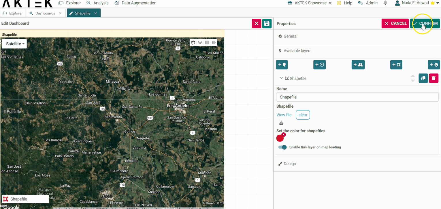
In the section, Available Layers, you will find 5 options to visualize and upload your data for the map;
-
The fourth option is for Shapefiles;
-
Once you click on it, give it a Name (e.g. local bases);
-
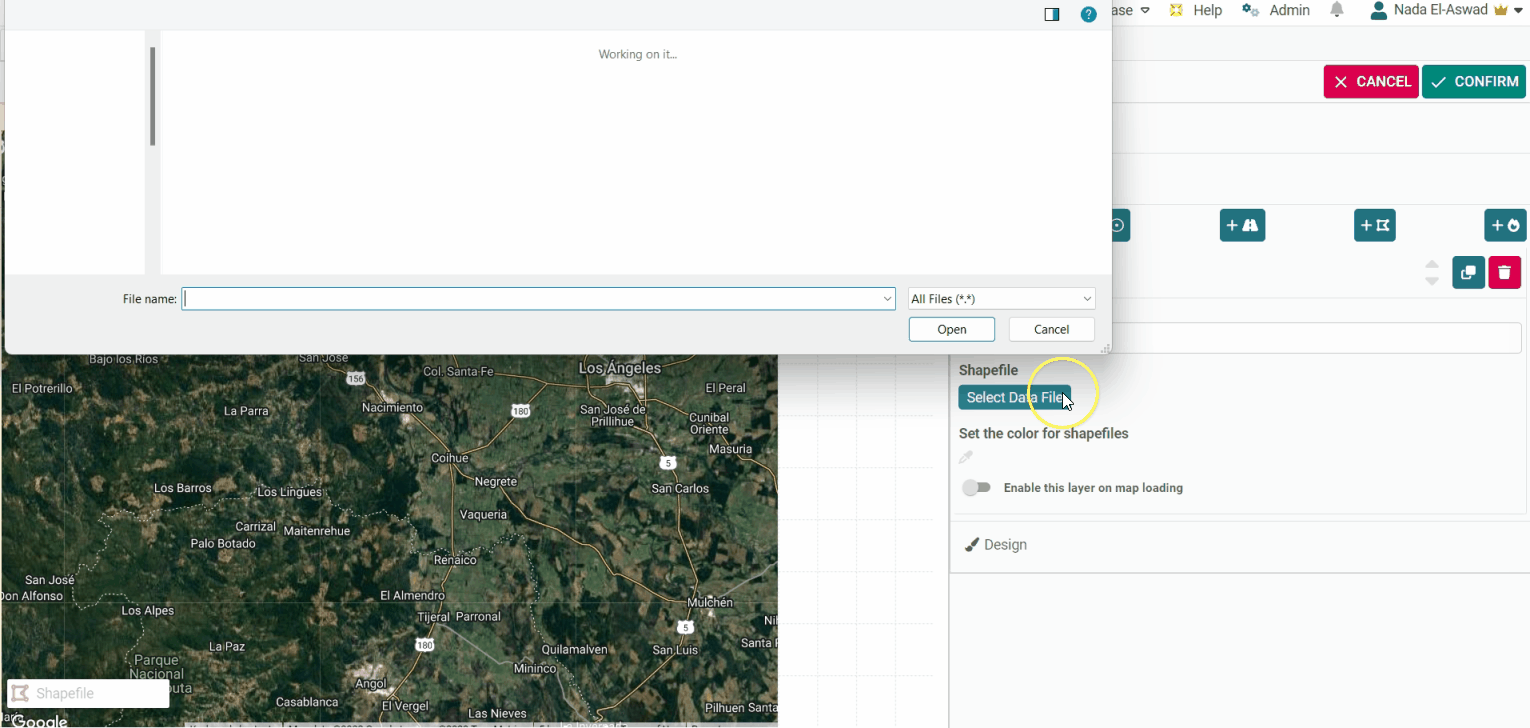
Select Add Data File, where you should upload a ZIP folder with your Shapefile archives (Note: it must be ZIP and not RAR);
-
On Set the color for Shapefile, you may as well select a color for the layer, which will determine the color of the polygons on the map.
- If you want this layer to load by default every time you open this dashboard, then enable the toggle Enable this layer on map loading.
-
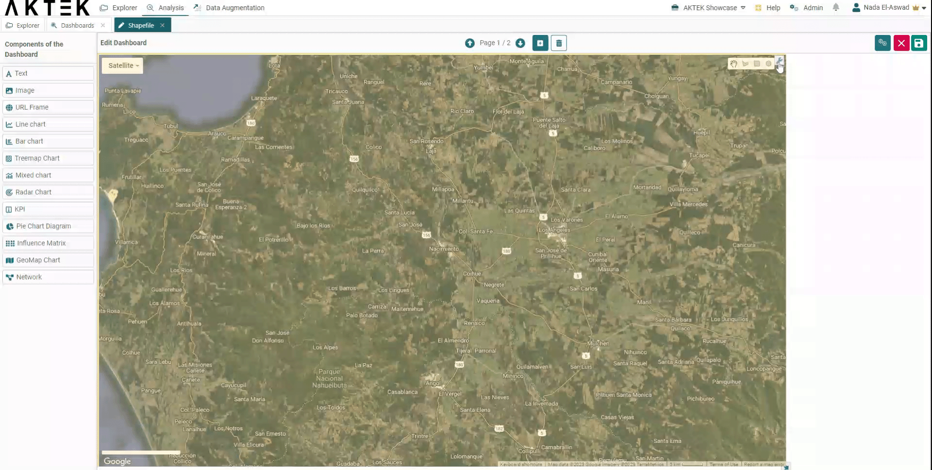
The visualization of your Shapefile will be displayed on the legend (on the left corner of your map). You can zoom in or zoom out, and change the map view by clicking on the right-top corner and selecting between Satellite or Map view (note that these options might be limited if AKTEK iO is installed on-premise).